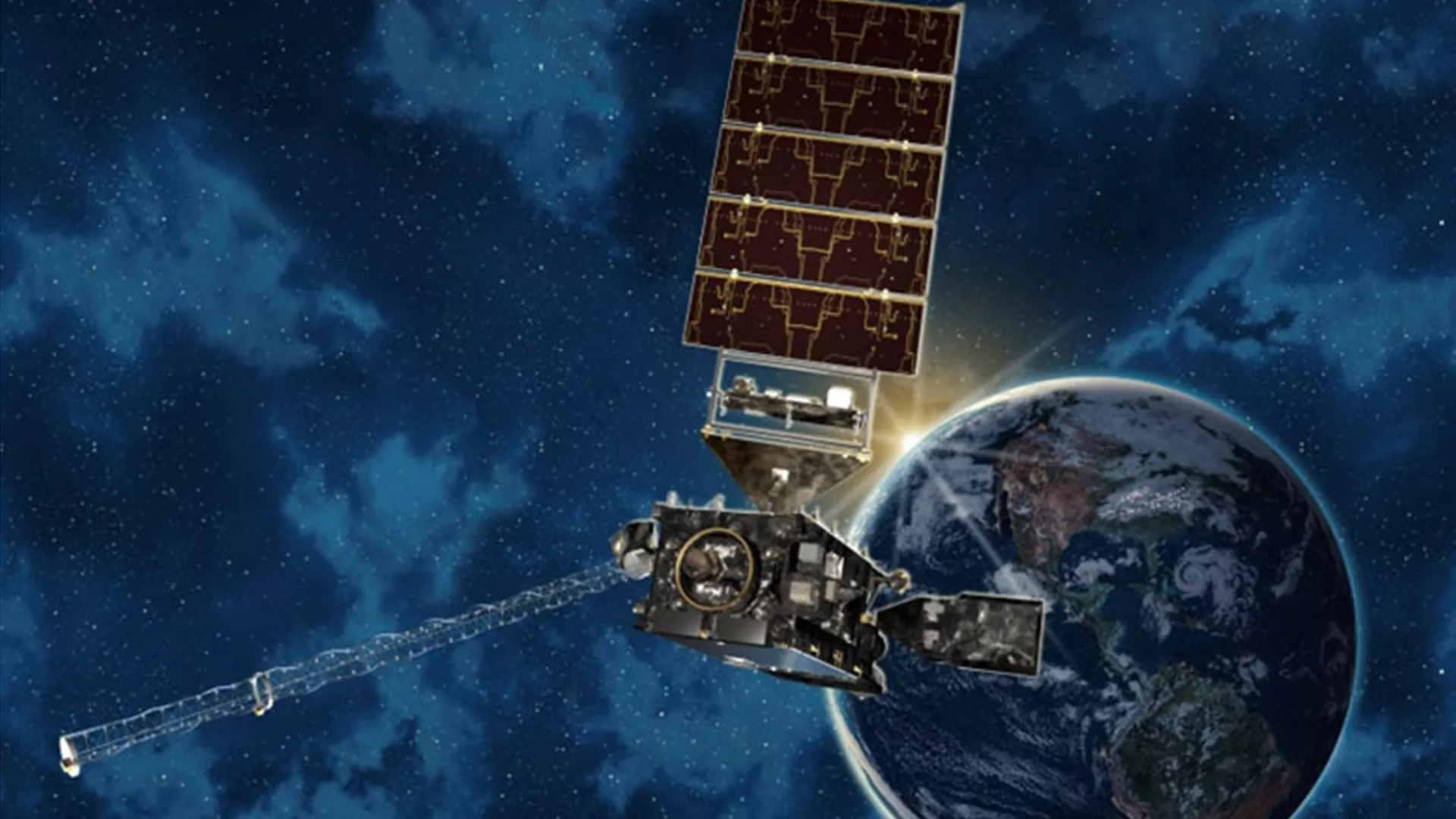
STAR uses innovative science and applications to transform satellite observations into meaningful information essential to society’s evolving environmental, security, and economic decision-making.

Remote sensing data, including satellite observations, in its raw form can’t be used right away. That’s where the Center for Satellite Applications and Research (STAR) comes in. As NOAA Satellite’s science arm, our scientists use the latest in scientific understanding and technological advancement to decode and transform data into a form that is understandable, accessible, and translatable and can be used to aid in decision making and provide societal benefit.
STAR works closely with partners (whether at NOAA, academic institutions, international organizations, and elsewhere) to understand our Earth System Science-based solutions can be used to address societal and user needs. Our research activities are integral to understanding and extracting the best and most useful information from our satellites, information that supports the implementation of all of NOAA’s mission service areas

Our Leadership
Divisions
News
-
STAR sends a full complement of presenters to the AMS Conference every year, and STAR’s tradition…
-
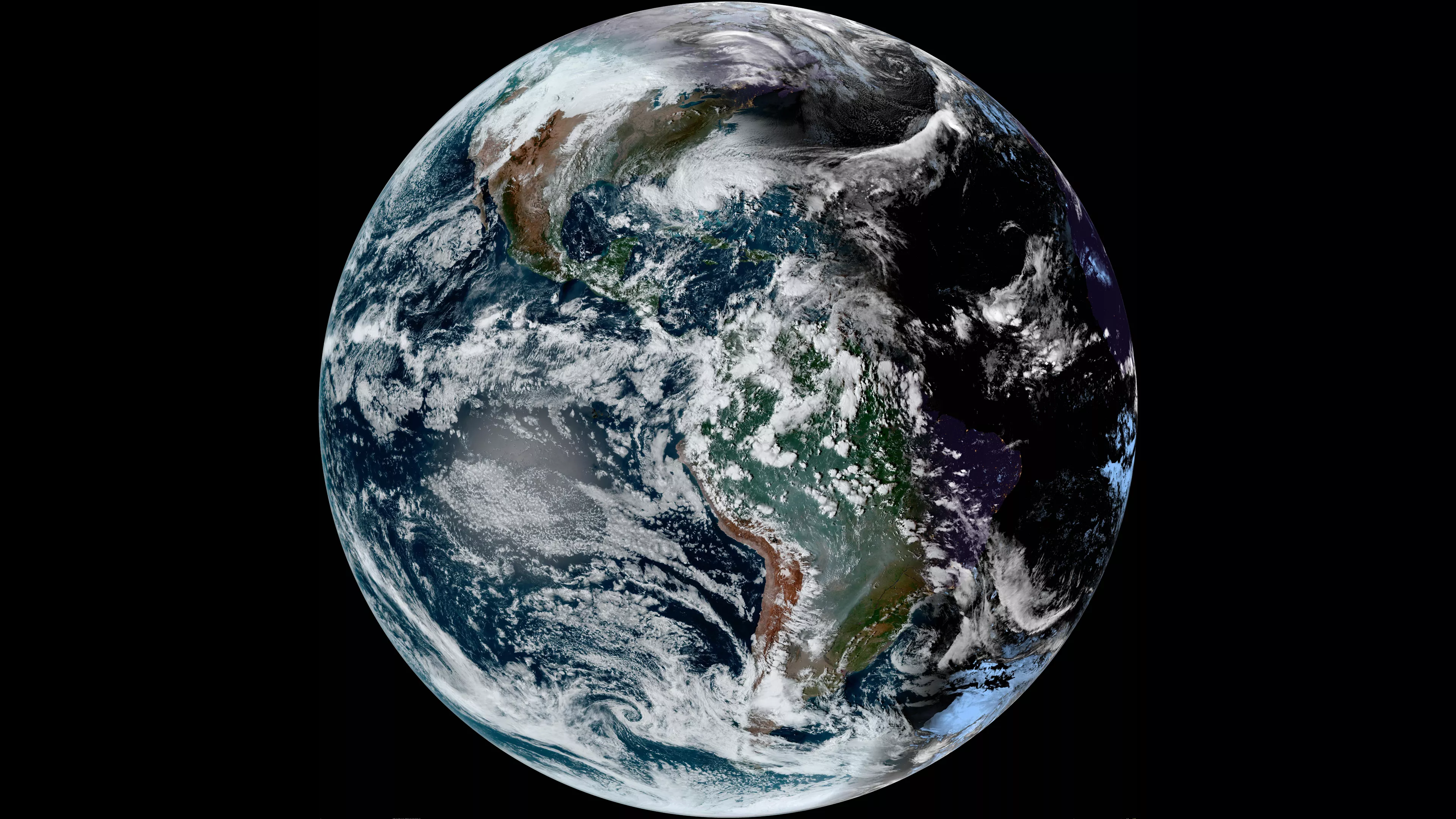
At 4:10 UTC on 15 January 2022, the Hunga-Tonga Volcano in the South Pacific erupted.The eruption…
-
STAR published their 2021 Annual Report this week. This report highlights the variety of our work…
Announcements
-
NOAA, NSF, NASA, COSI experts will preview next week’s annular eclipse
-
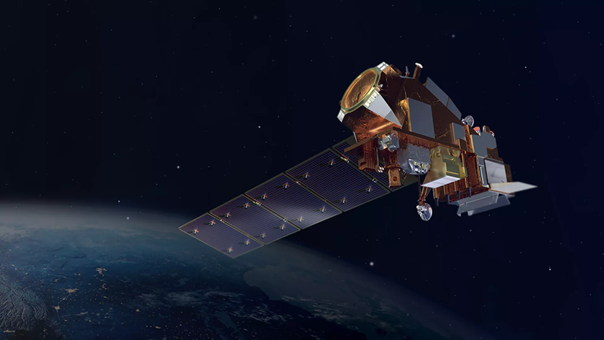
Hyperspectral soundings from low Earth orbit satellites can help predict dangerous pyrocumulonimbus…
-
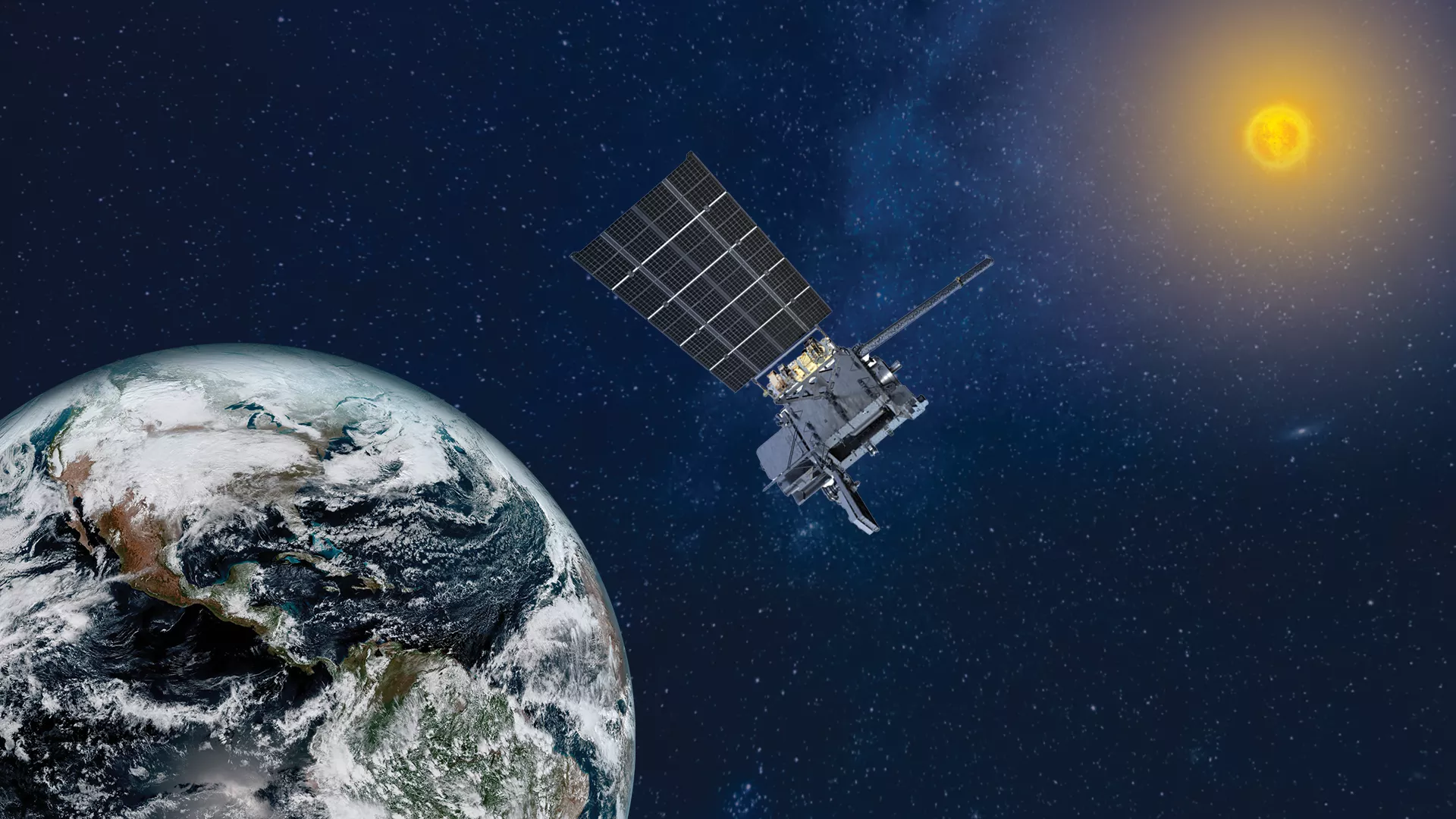
NASA Selects Ball Aerospace to Develop NOAA’s GeoXO Sounder Instrument