STAR uses innovative science and applications to transform satellite observations into meaningful information essential to society’s evolving environmental, security, and economic decision-making.

Remote sensing data, including satellite observations, in its raw form can’t be used right away. That’s where the Center for Satellite Applications and Research (STAR) comes in. As NOAA Satellite’s science arm, our scientists use the latest in scientific understanding and technological advancement to decode and transform data into a form that is understandable, accessible, and translatable and can be used to aid in decision making and provide societal benefit.
STAR works closely with partners (whether at NOAA, academic institutions, international organizations, and elsewhere) to understand our Earth System Science-based solutions can be used to address societal and user needs. Our research activities are integral to understanding and extracting the best and most useful information from our satellites, information that supports the implementation of all of NOAA’s mission service areas

Our Leadership
Divisions
News
-
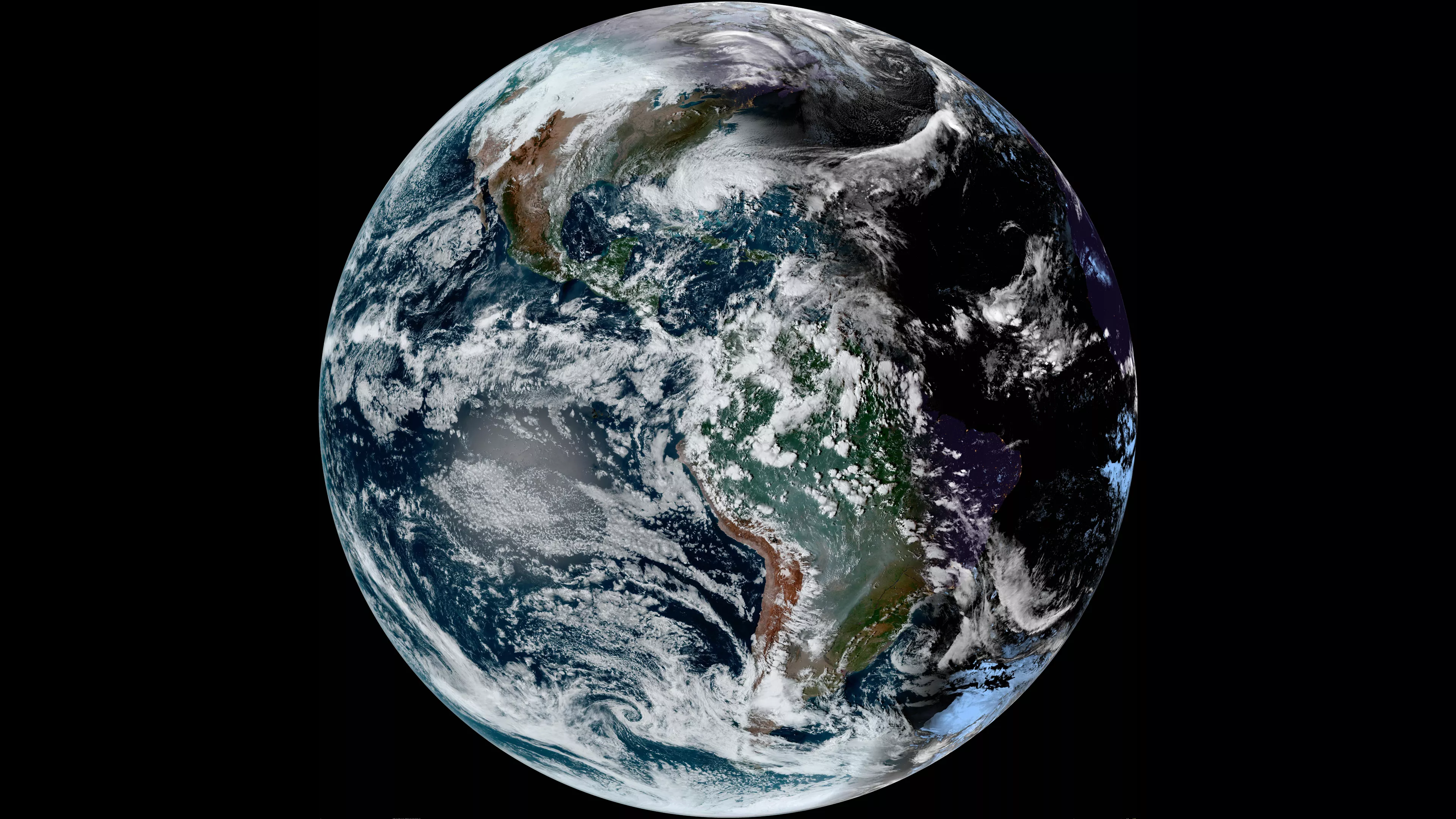
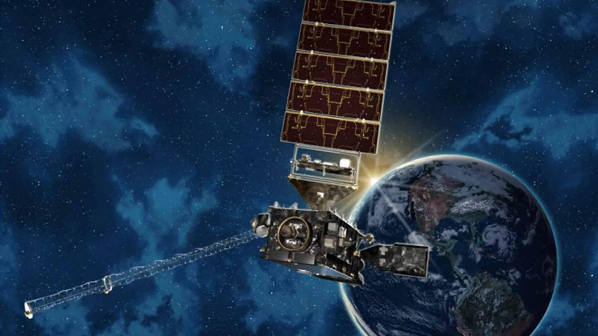
NOAA's polar-orbiting and geostationary satellites continuously monitor the Earth's…
-
Pam Sullivan, Dan Lindsey, Harry Cikanek, Joseph Pica, and Vanessa Griffin used a coordinated…
-
The National Oceanic and Atmospheric Administration (NOAA) announced that it has selected the…
Announcements
-
The Inflation Reduction Act (IRA) is a historic, federal government-wide investment that furthers…
-
Predicting severe weather events like tornadoes is tricky, and forecasters need high resolution…
-
Today, NOAA awarded the Geostationary Ground Sustainment Services (GGSS) contract to L3Harris…