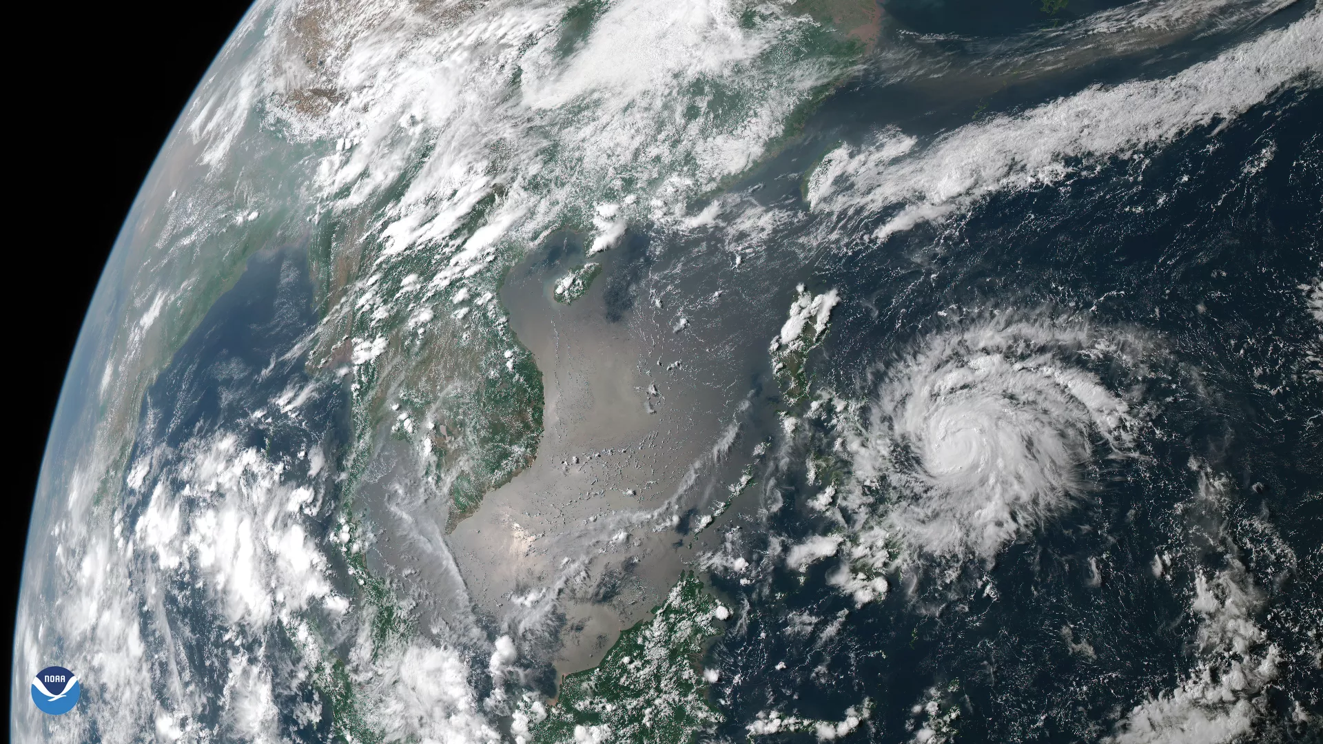
The first typhoon of 2020 has formed in the western Pacific Ocean and is expected to make landfall in the eastern Philippines on Thursday.
According to the Joint Typhoon Warning Center, Typhoon Vongfong was located roughly 535 miles east-southeast of Manila, Philippines, on Wednesday morning and was tracking west-northwestward. The maximum sustained wind speed was 80 mph with gusts to near 100 mph, the equivalent of a Category 1 hurricane on the Saffir-Simpson Hurricane Wind Scale. It is expected to continue its strengthening through Thursday.
The West Pacific Typhoon Season runs throughout the year, though tropical cyclones tend to develop between May and October. According to Colorado State University research scientist Phil Klotzbach, this is the eighth-latest start to the season since 1950. The last time we had a later start was 2016, when the first named storm of the season didn’t arrive until the first week of July.
This image was captured on May 13, 2020, by the Advanced Himawari Imager (AHI) on Japan’s Himawari-8 satellite. This satellite, the first of the Japan Meteorological Agency's (JMA) third-generation of geostationary satellites, provides visible light and infrared images of the Asia-Pacific region. Himawari's data are vital for global geostationary coverage, which is why NOAA and JMA have agreed to mutual back-up arrangements for their geostationary systems.